Blog written by Burgeon Athlete Abishai Corey
The Pemi Loop is an iconic 32 mile hike in Lincoln, New Hampshire. This hike has up to 16 different 4,000 foot peaks including the Franconia Ridge, the Bonds, and more. Each mountain has its own breathtaking view, and you are exposed on a ridge for a majority of the hike. The big challenge to this hike is choosing the amount of days you want to complete it in. Some people hike it in 2-3 days carrying overnight gear for shelters or huts, and there are others that attempt to hike the loop in a single day. On June 28th my friends and I completed the challenge.
At 4:45am my alarm went off and I got ready for a long walk in the woods. My pack consisted of water, electrolytes, layers for the ridge, a headlamp, my camera, and lots of food. Keeping your energy up with food, but keeping a light pack is always an interesting balance to figure out. If you are ever nervous about not carrying enough food you can always plan to have lunch or even just grab a snack at the Galehead hut which is around the halfway point in the hike. The food I packed was a bag of trail mix, beef jerky, trolli gummy worms, 2 PB & J’s, and some energy bars. I also bought a beef stick and a candy bar at the Galehead hut. I left my house around 5:20am for a 5:30 start.
The hike starts and ends at the Lincoln Woods Trailhead around 8 minutes from my house. It was just starting to get light out when we shouldered our packs and walked into the woods. The first 2 miles were a breeze as we followed an old railroad bed before turning left onto the trail which would lead us to our first peak. Around 8:30 am we made it to our first 4,000 foot mountain, Flume. The view was gorgeous, however, the winds were whipping so our snack break ended quickly as we trekked on to our next peak. An hour later we reached our next peak, Liberty, around 9:30. Again it was a quick break because the wind would make us cold, and putting on layers just to take them off once we started walking again seemed pointless. At this point we were consistently hiking around 4,000 feet of elevation and the trail led us right over the Franconia Ridge.
This is also a very iconic hike that tourists come to hike all the time. It consists of three peaks, Haystack, Lincoln, and Laffeyete. Once you hit Haystack you are above the treeline and these miles feel like a breeze. The views are gorgeous with mountains in a 360 degree view. The ridge has small ups and downs so it is easier to hike faster. We started to ridge around 10 am and started the descent to Garfield around 11:30. This was the start of the most difficult part of the hike. After coming off of Laffeyete you hike down and lose a good amount of elevation. You then have to re hike the elevation to reach the top of Garfield. We took a longer break at the top of Garfield. We were all feeling tired, and knowing that we were only ⅓ of the way done was difficult. The terrain was brutal, and the bouldered path made it hard for us to move at a fast pace.
The hike off of Garfield was sketchy. The trail had turned into a rocky river that declined very aggressively. My knees were not happy with this, and my thighs shook every time I planted my foot. At this point I was not only physically struggling, but mentally as well. I would find myself on autopilot not really paying attention to what was happening. We had been walking for almost seven hours and the hike ahead would only become harder. Galehead hut was only 3 miles, but to me it felt like 10. Every corner I expected to see the hut, but instead I saw only woods. I started to get frustrated watching the time go bye knowing we hadn’t even hit the halfway point. I was the first to reach the hut where I immediately took off my pack and shoes. I bought food and refilled my water bottles. My friend Garrett Emery and I did a leg drain while Sammy Sarkis took a power nap on the porch.
Once I layed down I felt as if all the energy had drained from me. I didn’t think I was going to be able to get up. I was so tired and my legs hurt so bad, but I knew we were always past the hard section and after that the last 10ish miles were supposed to be easy compared to the first 20. We left the hut around 4:30 for the last intense push, the summit of South Twin. The 0.8 mile vertical ascent was done at the slowest pace ever. Boulder after boulder we climbed higher and higher. It took 40 minutes to reach the top, and once I saw the sign I felt nothing but relief. We had reached the last push and it was nothing but smooth sailing from there.
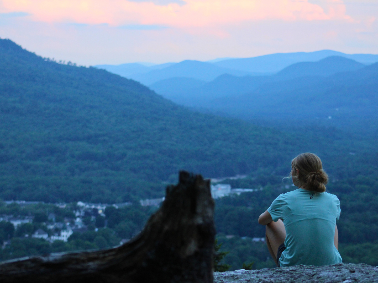
After South Twin came Mt.Guyot and the Bonds. The mood picked up, and we cruised through four miles of a flat pine needle covered path. The sun was starting to set which I was thankful for because the heat set with it. Mount Bond was first, and we peaked it around 6pm. We took a small break here, but we pushed on knowing we would take a long break at Bondcliff before descending to the car. We reached Bondcliff as the sun was going down, and the view was stunning. This cliff is also iconic because it holds a perfect cliff for photos. We each took turns sitting on the rock that dropped 1,000 feet into the trees below. We cracked a couple red bulls and called it good. We started our descent when dusk hit. It was supposedly 6 miles to the car, however, we learned later into the hike that we were majorly mistaken. We got below tree line and had to pull out our headlamps. The woods darkened the path as we hiked on to the point where you could only see a couple feet in front of you with the illumination of your headlamp.
The group kept splitting up as some of us hiked faster desperate to make it to the car. The two adults hiked ahead around mile 25, leaving us teenagers in the dust. The darkness started to creep into my mind as I consistently checked behind me expecting to see someone following us. We hiked quickly hoping to relieve ourselves of the invisible pressure. Until we came to a dead stop. The trail takes a sharp bend to the right, however, it is hard to miss and because it was night we went left. We hiked for a couple minutes until we realized the trail was really a dried river bed. We hiked back to where we thought the trail was and we all stood there for a couple minutes wondering where to go.
It’s in these moments you want to freak out. You want to yell and scream, hoping to wake up from a bad dream. My mom’s voice flooded into my head as we struggled with what to do. “If you get lost, stay calm, make smart decisions, and do not leave one another.” We were standing at the junction where we had made the wrong turn, and we couldn’t seem to find the trail. We didn’t travel far from each other but one of us would walk a little ways into what looked like a path and then return to the group if it didn’t look promising. After some trials and errors we found the right trail. The wave of relief was huge, and we hiked on. We were only lost for approximately 15 minutes, however, it felt like hours.
We caught up to the adults and finally made it to the Lincoln Woods around 9:30 pm. This is where we learned our mileage count was off. The 6 miles to the car was really 6 miles to the start of a flat 3 miles, the Lincoln Woods. In anger, tiredness, and frustration I put my head down and walked as fast as I possibly could. The railroad bed seemed never ending. I checked my watch every three minutes and the time slowly ticked by until I finally saw our last bridge at 11:10 pm. Adrenaline ripped through my body as I walked across the bridge, up the stairs, and to my car. We had completed all 32 miles at 11:15 pm, 17 and a half hours later.


